Catalogue PIGMA
Search
Map
Sign in
Search
Resolution
17000 meter
1 record(s)
Type of resources
Dataset
(1)
Topics
Oceans
(1)
Keywords
Oceans
(1)
Delayed
(1)
Use of open search engines, searching by name either the data provider or the characteristics
(1)
There is detailed information provided to understand data policy
(1)
Format not proprietary and content clearly specified (e.g. autodescriptive like ODV, NetCDF CF) or at least with appropriate document describing the content
(1)
The datasets are referenced in a public national catalogue, in an international catalogue service
(1)
High level analyzed
(1)
Online discovery and downloading services
(1)
Human activities
(1)
Sea regions
(1)
Human activity
(1)
Draft
(1)
Atlantic - CH07 - Fisheries Impact
(1)
Fishing effort
(1)
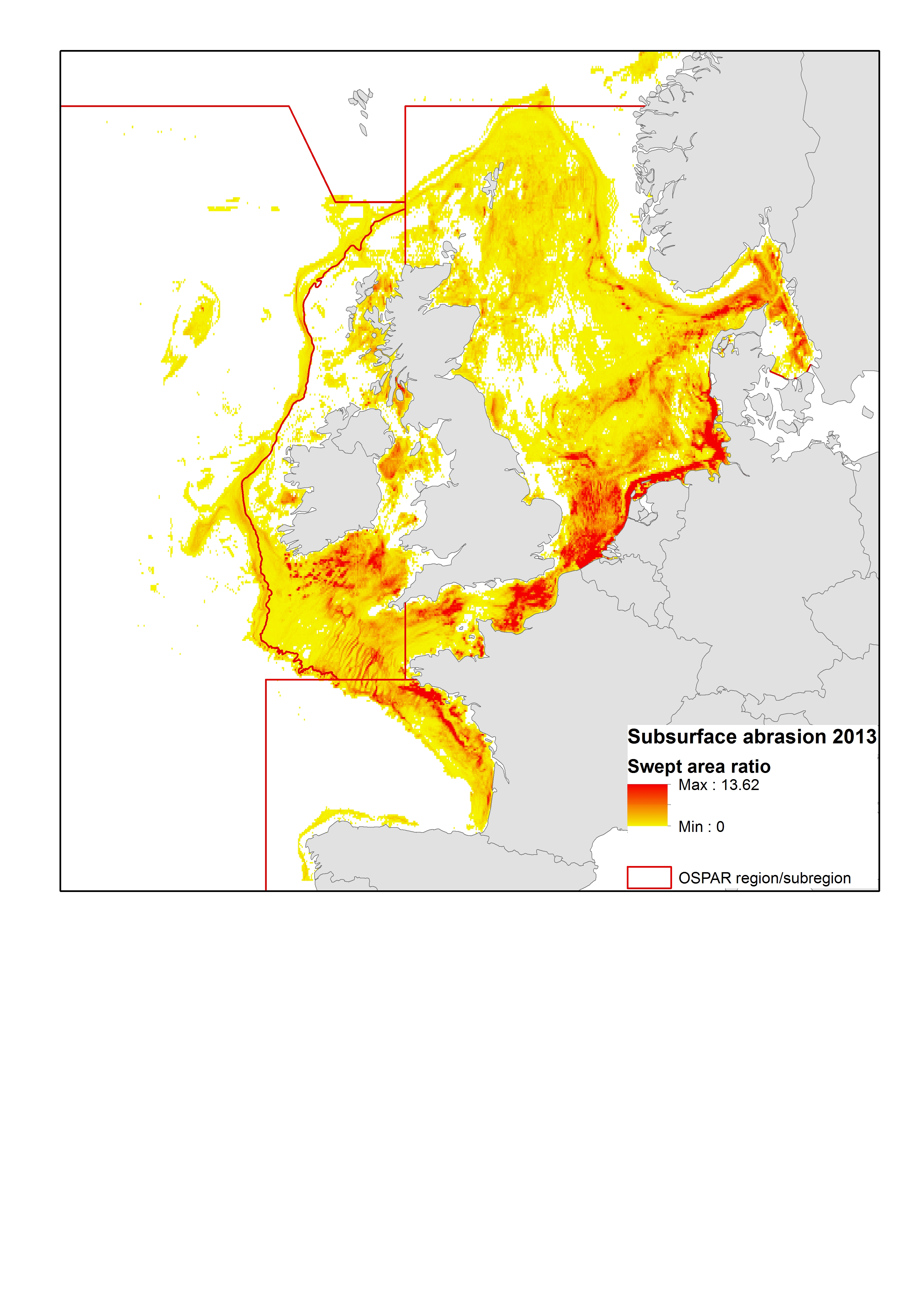
High Resolution VMS & ERS (Logbook) Fishing Intensity Data
(1)
Contact for the resource
Marine Institute
(1)
Working Group on Spatial Fisheries Data
(1)
Provided by
IFREMER
(1)
Formats
ESRI Shapefile
(1)
JPEG
(1)
PDF
(1)
ZIP
(1)
Representation types
Vector
(1)
Update frequencies
Unknown
(1)
status
On going
(1)
Resolution
17000 meter
(1)
From
1
-
1
/
1
Fishing effort | High Resolution VMS & ERS (Logbook) Fishing Intensity Data | | OSPAR mapping fishing intensity and effort outputs 2015
About
Github
 Catalogue PIGMA